Federal investigators have confirmed that scheduled military GPS jamming operations were active the night a medical transport plane crashed into the Capitan Mountains last month, killing all four crew members on board.
The National Transportation Safety Board (NTSB) released its preliminary report on Wednesday into the May 14 tragedy involving a Beechcraft King Air 90 air ambulance operated by Trans Aero MedEvac. For the first time, federal authorities officially linked the flight’s timeline to electronic warfare testing originating from the nearby White Sands Missile Range.
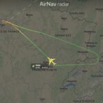
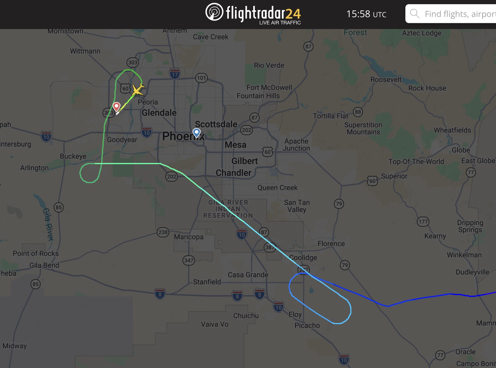
According to the report, the flight departed Roswell Air Center just before midnight on a routine medical repositioning mission to Sierra Blanca Regional Airport near Ruidoso. No patients were on board.
En route, the flight crew encountered severe GPS disruptions, reporting to air traffic control that they had lost their primary navigation capabilities. In response, air traffic controllers contacted the military installation and successfully negotiated a temporary freeze on the testing. White Sands Missile Range halted the jamming operations for a brief window, allowing the pilots to regain situational awareness.
Shortly after the suspension, the pilots reported seeing the landing strip at Sierra Blanca Regional Airport and were cleared by air traffic control for a visual approach. However, minutes after the clearance was issued, the military GPS jamming resumed.
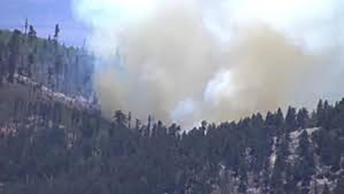
Data indicates that following the resumption of the signal interference, the twin-engine turboprop aircraft descended toward the airport before crashing into steep, rocky terrain in the Capitan Mountains, striking the mountainside approximately 230 feet below a mountain summit.
The impact killed both pilots and two flight nurses on board, and sparked a wildfire in the Lincoln National Forest—dubbed the Seven Cabins Fire—which eventually grew to hundreds of acres amid dry, windy conditions.
The NTSB noted that the air ambulance crew was not alone in experiencing navigation failures; other pilots operating in the region that night also reported widespread GPS disruptions.
While the preliminary report establishes a clear timeline connecting the military operations to the flight’s final minutes, investigators cautioned that a definitive cause of the crash has not yet been determined. The NTSB, alongside the Federal Aviation Administration (FAA), is continuing to examine the discrepancies between the aircraft’s radar altitude data, the pilots’ operational decisions, and the overall safety protocols surrounding scheduled military signal interference in civilian airspace.
A final report detailing the official probable cause could take one to two years to complete.
NTSB Examines GPS Jamming on Night of Fatal NM Air Ambulance Crash This video provides local broadcast coverage and expert commentary outlining how the federal investigation is focusing on the intersection of military testing and civilian flight safety.