


The geospatial data analytics market is expanding as interest and demand for solutions that provide accurate data for various industries grows. Agriculture and forestry, health care, urban planning, industrial production, and other areas of human activity require new approaches and more effective solutions. Moreover, more and more businesses are looking for solutions that will help them become more sustainable and reduce their negative environmental impact. Remote sensing technology certainly plays a vital role in achieving the above goals.
Satellites Can Make Agriculture More Efficient
Water, soil, crops – everything in the fields sends signals in the form of bands of different lengths, and satellites receive and process these signals. Thus, with the help of satellites, farmers can get valuable information about the condition of plants, as well as problems related to soil, pest attacks, climate change, and much more. Satellite data and geospatial data analysis enable estimate crucial variables, including soil moisture, yield, evapotranspiration, irrigation efficiency, and more. With this data, growers can improve management, and resource allocation, reduce costs, and increase field productivity.
However, farmers are not the only ones interested in using satellite technology and geospatial data analytics in agriculture. These technologies can be used in the agricultural policy of governments, for example, to address the provision and maintenance of food security. Insurance companies can also benefit from satellites by improving the efficiency of insurance and improved claims handling, as well as increasing the transparency of the process. Agricultural traders can use satellite data to plan their purchasing strategy. Producers of agricultural inputs can also benefit their businesses by predicting the demand for their products and making them available to farmers.
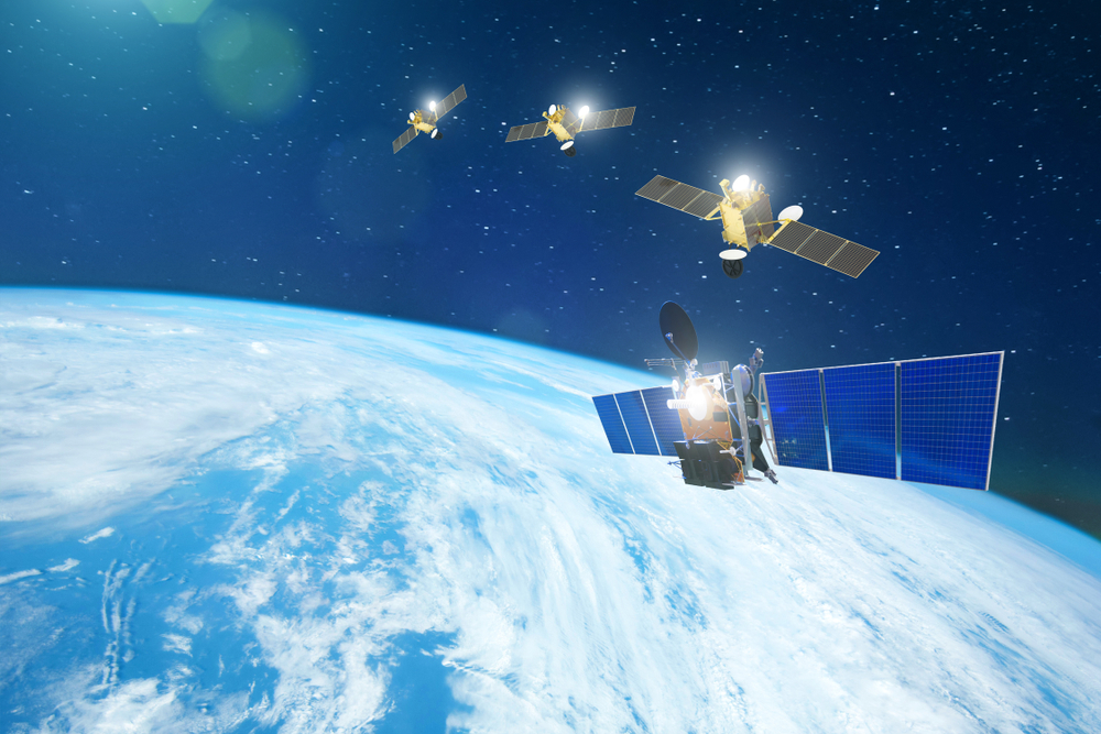
Agro-focused Satellite Constellation by EOSDA
EOS Data Analytics (EOSDA), a global provider of artificial intelligence-based satellite analytics. EOSDA cooperates with governments, scientific, and commercial organizations worldwide, sharing its outstanding experience, and deep technical expertise. The company provides earth observation solutions for more than 22 different industries, with a particular focus on agriculture and forestry. EOS Data Analytics combines satellite data with AI algorithms to analyze the health of vegetation on farms and forest stands. Thus, the EOSDA makes a crucial contribution to the development of sustainability of these industries and increases their productivity by allowing for making more informed and effective decisions.
By 2025, the company plans to launch a constellation of 7 optical satellites, which will be equipped with a set of agri-focused bands to ensure advanced vegetation monitoring. The EOS SAT project will be the first ever satellite monitoring project entirely focused on agriculture. For the company, implementing this project means providing end users with even more reliable and accurate information through EOSDA products and services.
Concept and technical characteristics of satellites
The world’s first constellation of agri-focused satellites launched by a company that already has expertise and software in satellite imagery analytics, will include seven optical satellites with 5-7 years of design time. The movement of the satellites will take place in a sun-synchronous orbit with 140 W of average power, covering all agricultural regions in top countries with the revisit time being 1-3 days. Moreover, satellites can revisit the target area within 24 hours on tasking. The launch of the first satellite is planned for 2022. Then the company plans launches for 2023 and 2024 (3 satellites per year). In 2025, according to the plan, the project will be operating in full.
Satellite Features for Agriculture
Here are some of the top agricultural satellites’ features specifically for vegetation monitoring:
- Land Surface Reflectance helps evaluate the spectral reflectivity of a surface. This ability is measured at ground level, considering various atmospheric effects. LSR allows you to determine the level of greenery of vegetation, which later enables you to select the most suitable dates for sowing and identify the peak moment of crop development.
- Land Surface Temperature helps to determine the temperature of the earth’s surface and shows the temperature of everything that is on it (areas covered with snow, sand, etc.). LST is used in agriculture to monitor changes in weather and climate conditions. It is also used to determine the need of plants for water and control irrigation.
- Soil Moisture is one of the most crucial parameters in agriculture. It is also critical for climate modeling, ecology, and plant health. Soil moisture indicators allow you to allocate resources and apply them more sustainably.
- Vegetation Greenness/Index can also effectively determine the health of crops, as healthy plants reflect mostly near-infrared light. Capturing the reflected radiation makes it possible to monitor and study vegetation.
- Synthetic Aperture Radar is a type of active data collection. With this data collection, the sensor emits its energy and then records the amount of reflected radiation and interaction with the Earth. SAR can operate in any weather and at any time of the day. However, interpreting information content can be challenging compared to other types of data collection.
Practical application of satellite data in agriculture
The benefits of using geospatial data in analytics are related to the ability to make effective decisions based on accurate data. This technology has a range of applications, all of which are transforming agriculture, making it more resilient and more productive. The main practical applications of satellite technology in agriculture are crop monitoring, crop forecasting, disaster management, forecasting market trends, and creating a more transparent supply chain.